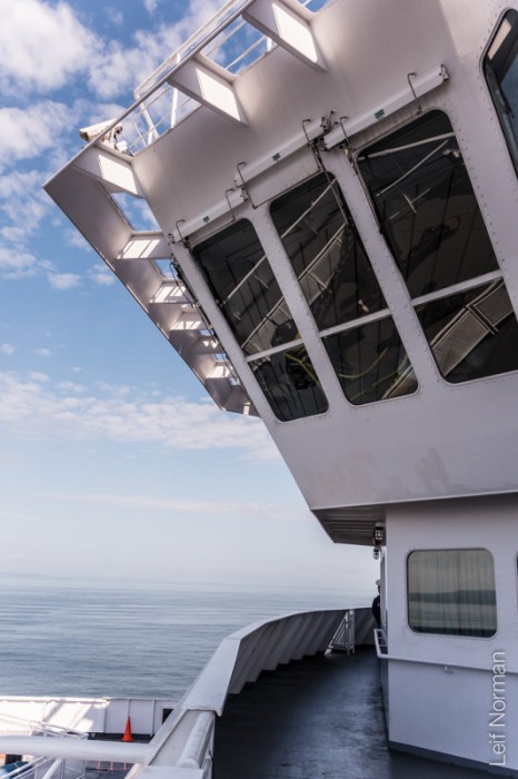
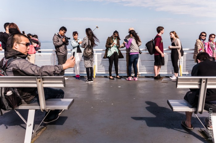
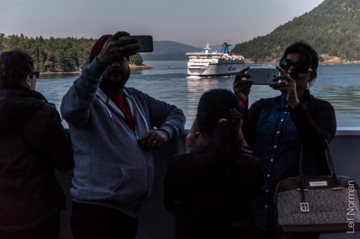
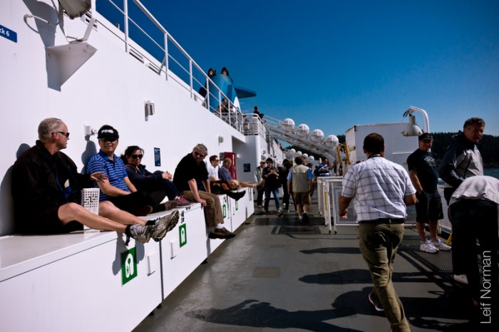
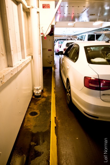
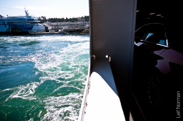
From Vancouver to Victoria BC.
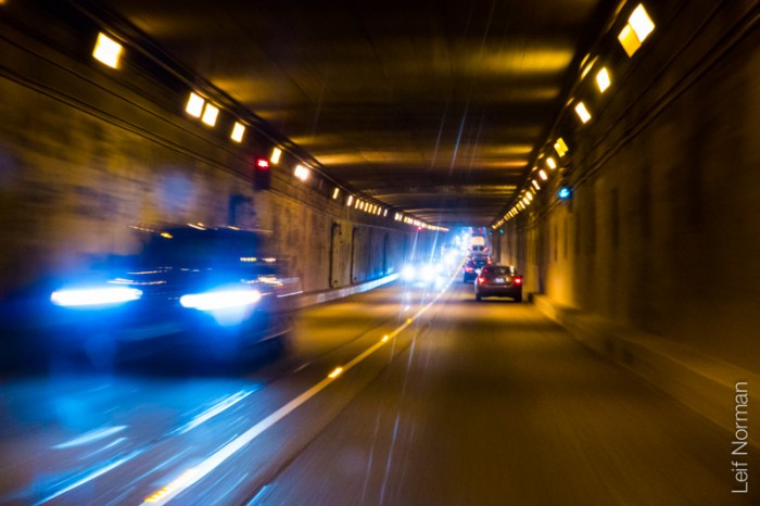
“The George Massey Tunnel (often referred to as the Massey Tunnel) is a highway traffic tunnel in the Metro Vancouver region of southwestern British Columbia. It is located approximately 20 km (12.4 mi) south of the city centre of Vancouver, British Columbia, and approximately 30 km (18.6 mi) north of the Canada-U.S. border at Blaine, Washington.
Construction, costing approximately $25 million, began on the tunnel in March 1957, and it was opened to traffic on May 23, 1959 as the Deas Island Tunnel. Queen Elizabeth II attended the official opening ceremony of the tunnel on July 15, 1959. It carries a four-lane divided highway under the south arm of the Fraser River estuary, joining the City of Richmond to the north with the Corporation of Delta (a municipality) to the south. It is the only road tunnel below sea level in Canada, making its roadway the lowest road surface in Canada.
The tunnel forms part of Highway 99. It is named for Nehamiah “George” Massey, a former Member of the Legislative Assembly of British Columbia. He represented Delta between 1956 and 1960, and was a long-time advocate of a permanent crossing to replace an existing ferry that crossed the south arm of the Fraser River. The tunnel was renamed the George Massey Tunnel in 1967, three years after Massey died. It is still sometimes referred to by its previous name, the Deas Island Tunnel. As of 2013, public consultations are taking place regarding replacement of the tunnel.” from Wikipedia
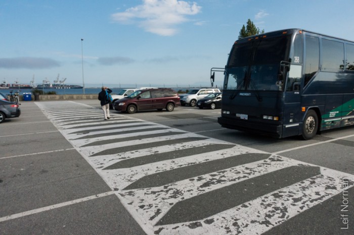
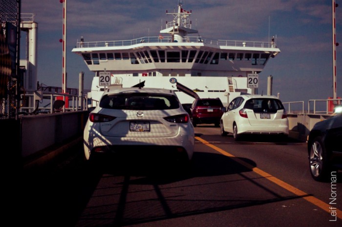
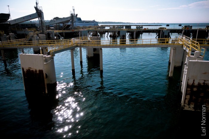
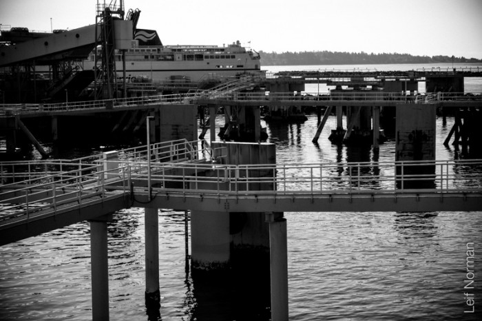
“The Tsawwassen Ferry Terminal is a 22.3 ha major transportation facility in Delta, British Columbia. It is located at the end of a 3 km (2 mi) man-made causeway off the mainland at Tsawwassen and is less than 500 m (550 yd) from the 49th parallel, Canada’s border with the United States. The terminal is part of the BC Ferry system, as well as part of Highway 17.”
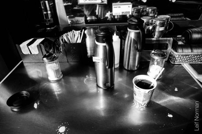
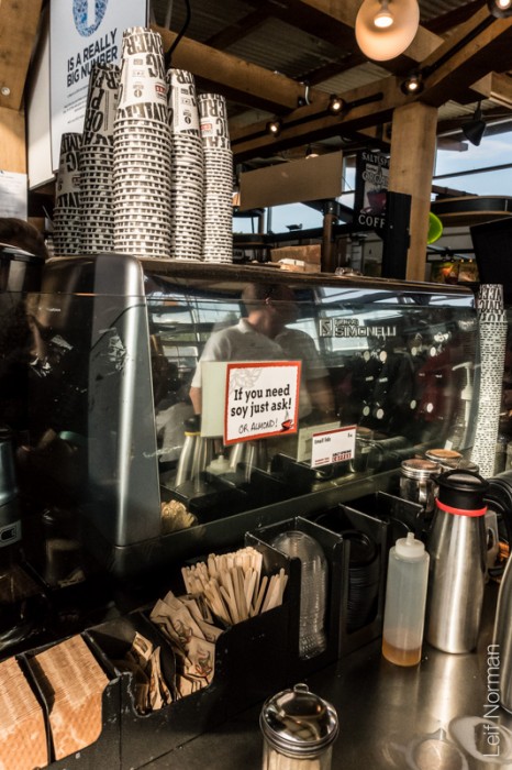

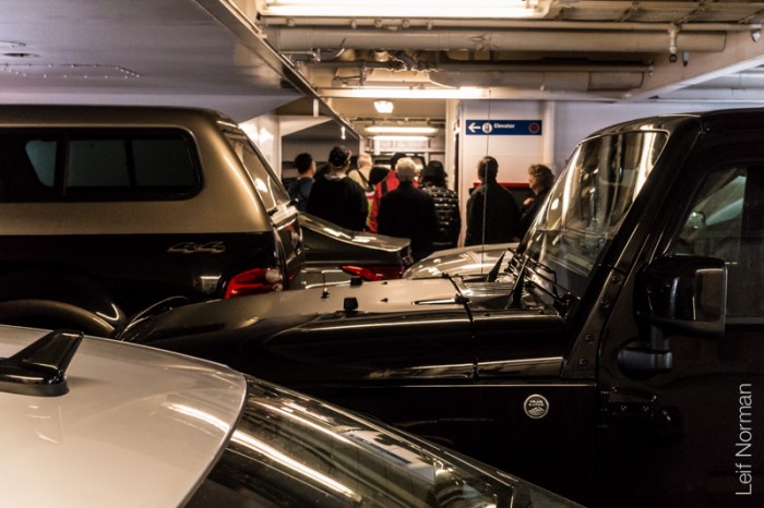
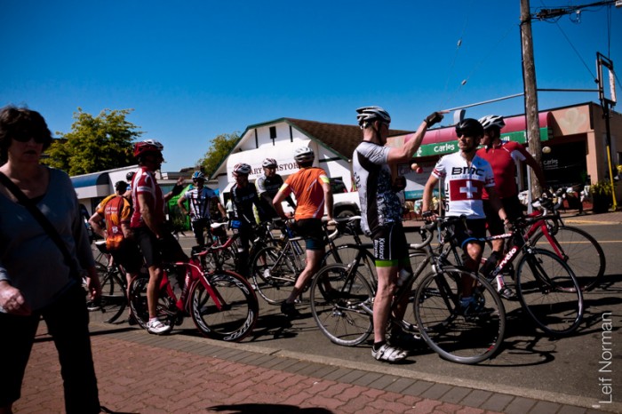
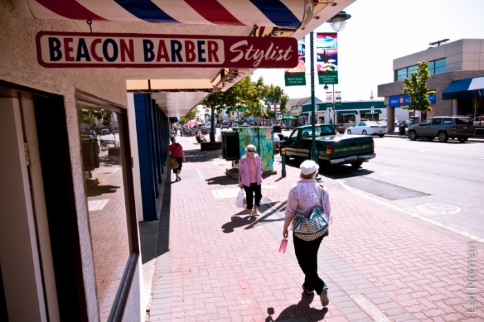
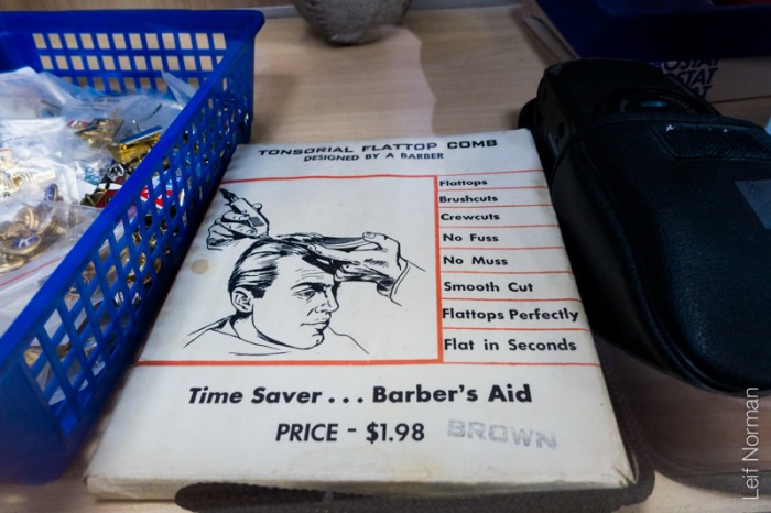
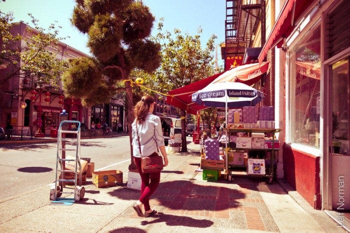
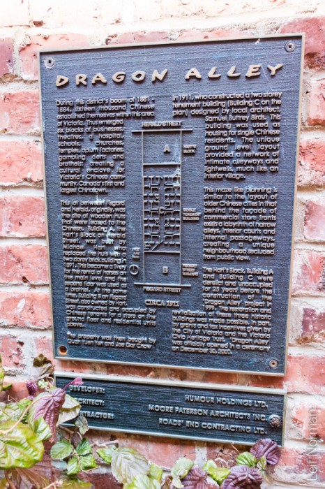
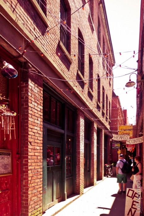
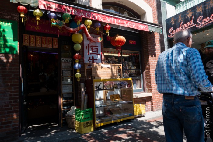
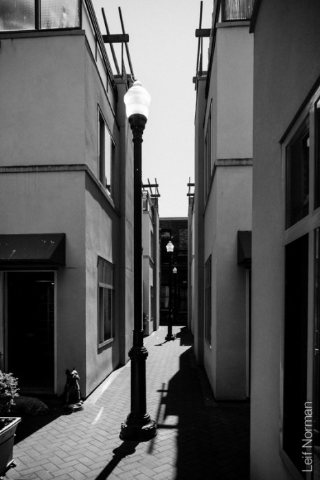
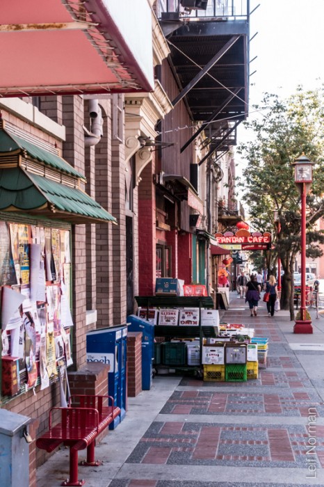
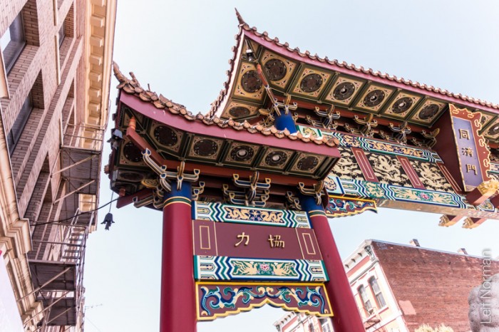
“Fan Tan Alley is an alley in Victoria, British Columbia‘s Chinatown. It runs south from Fisgard Avenue to Pandora Avenue in the block between Government Street and Store Street. It was originally a gambling district with restaurants, shops, and opium dens. Today it is a tourist destination with many small shops including a barber shop, art gallery, Chinese cafe, apartments and offices. It is the narrowest street in Canada. At its narrowest point it is only 0.9 metres (35 in) wide. It was designated as a heritage property by the local government in 2001.” from Wikipedia BC
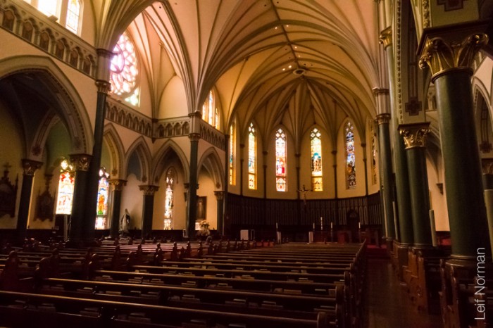
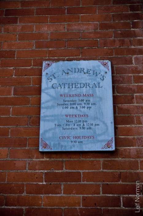
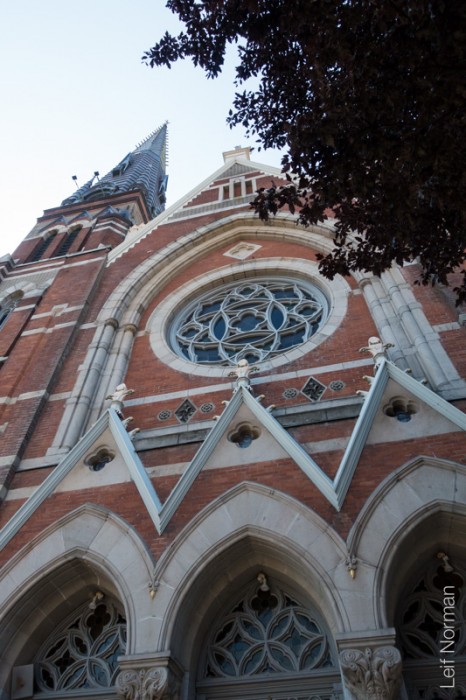
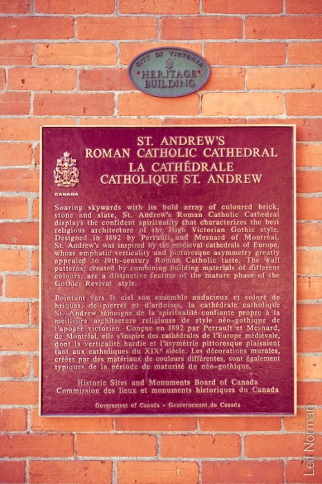
“St. Andrew’s Cathedral is the Roman Catholic cathedral for the diocese of Victoria in British Columbia, Canada. Built in the High Victorian Gothicstyle, St. Andrew’s was Victoria’s third cathedral to be built. (The first, 1858–1884, is now the Chapel of St. Ann’s Academy on Humboldt Street; the second, 1884–1892, was on the site behind the current building now occupied by the St. Andrew’s Square office building.)
Construction for the new cathedral began in 1890. At 8:00a.m. on October 30, 1892, Bishop Jean-Nicolas Lemmens blessed the building before celebrating aPontifical High Mass at 10:00a.m. The cathedral has been a National Historic Site of Canada since 1990″ from Wikipedia
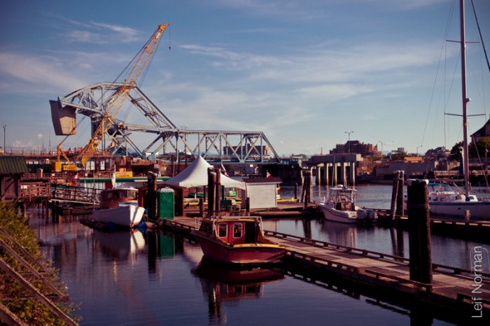
The Johnson Street Bridge is a bascule bridge that spans the harbour of Victoria, British Columbia. It is commonly referred to as the “Blue Bridge” because of its distinctive blue colour.
The bascule spans were designed by the Strauss Bascule Company Limited and were fabricated in Ontario. The sub-structure was built by the City of Victoria Engineering Department and required 9,144 cubic metres (11,960 cubic yards) of concrete. The bridge was completed in January 1924 at a cost of C$918,000. The bridge originally had street car rails running down the center of the road span, but they were never used, and were removed a few years later. The original wood deck was replaced by a steel grid in 1966 and the steel structure was repainted in 1979 as part of an extensive renovation.
The bridge had two opening spans of 45 m (148 ft) that operate independently, a three-lane highway span of 350 tonnes and a railway span of 150 tons. The approaches are fixed girders, the east is 34 m (112 ft) and the west is 22 m (72 ft). The counterweights are made of hollow concrete and total 780 tonnes. Daily traffic in 2010 is 30,000 trips a day at peak usage, of which 4000 are pedestrians, 3000 cyclists, and 23,000 vehicles. Until 2011, the rail span for the E&N was used twice a day by the Via Rail Dayliner, for trips up the island towards Duncan, Nanaimo and Courtenay. The rail span and counterweight have now been removed.
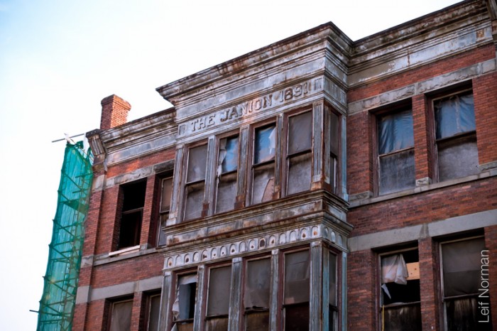
“The building has been a waterfront eyesore for decades, a decrepit brick shell on Victoria’s Inner Harbour.
The entrances are barricaded, the windows boarded up. A rear corner has partially collapsed. Inside, the plaster has fallen from the walls, exposing lath work.
A hint of former beauty can be seen amid the decay. Central bay windows on the second and third storeys project over Store Street. At the top can be read a wooden name plate, the paint long since faded, the embossed lettering still visible. It reads, THE JANION 1891.
The building has been vacant now for almost 35 years – the only known occupant in that time, a squatter protesting against homelessness in the city. He was evicted by police in protective gear who used tear gas to flush him from a reinforced room after a day-long standoff six years ago.” TOM HAWTHORN The Globe and Mail Published
